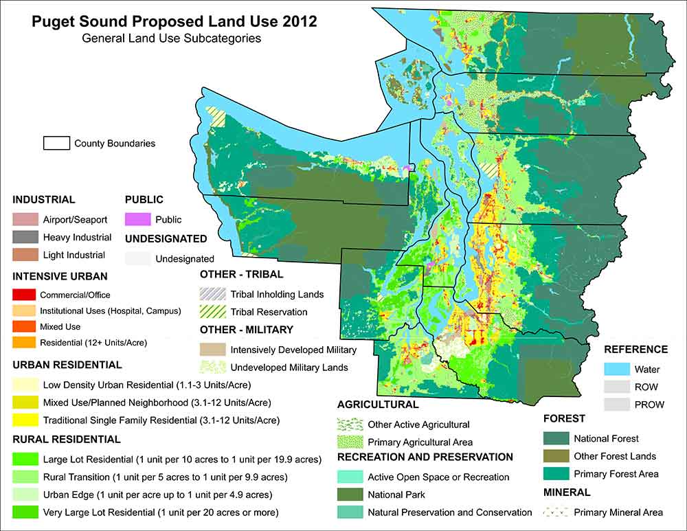
The purpose of the Puget Sound Mapping Project is to provide a mapping tool for regional and local governments that shows growth patterns around the Puget Sound Region using consistent methods across cities and counties.
Puget Sound Mapping Project – Interactive Map
Use the interactive map to explore Puget Sound in greater detail. You can find out more information on data definitions, downloading data, and conducting analysis via the tutorial materials and drop-down menus below.
This interactive mapping tool allows decision makers to compare expected and actual development patterns over the landscape and across major land use categories (and subcategories) of land use zoning. Some of the ways the data and maps can be used is to:
- Look at the acreage of land-uses by type within defined areas (neighborhoods, urban growth areas, watersheds, etc.)
- Calculate the amount of housing development happening within defined areas or categories of land-use (i.e. urban residential areas, agricultural areas, etc.)
- Analyze patterns of land-use and housing growth to understand if plans are working as intended or whether unintended impacts are happening in areas experiencing growth pressures.
The insights gained from these maps enables more data-driven decisions and can be integrated with resource agency maps to assist local governments with comprehensive planning.

